








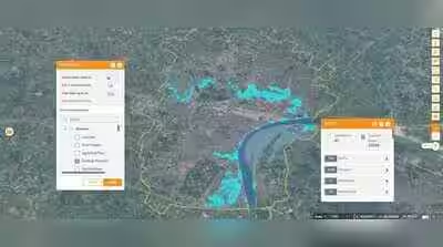
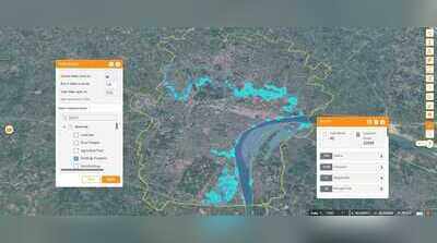
Varanasi: The UP govt is using advanced technology as a key part of its disaster relief and rescue strategy, with Kashi deploying a ‘3D Urban Spatial Digital Twin’ to assess the potential impact of floods and prepare response measures in advance.The technology is helping the administration identify areas likely to be affected by rising water levels, possible waterlogging zones and the number of houses that could come under the impact of floods. Based on the data generated, officials are preparing relief and rescue plans in advance and ensuring timely deployment of resources.ADM (Finance and Revenue) Sadanand Gupta said timely and accurate information was crucial for effective disaster response.“Through 3D Digital Twin and GIS technology, the administration is assessing potential flood-affected areas in advance and preparing its strategy accordingly. The information generated through this technology is making relief and rescue planning and resource deployment more effective,” Gupta said.He added that the 3D Urban Spatial Digital Twin Project was proving highly useful in planning flood response. The technology enables officials to identify in advance which areas and locations may be affected if the water level rises, allowing the administration to make timely arrangements.According to Amarendra Tiwari, chief general manager of Varanasi Smart City, 3D mapping of around 160 square kilometres of Kashi has been completed. The model contains more than 100 thematic layers and was prepared using Light Detection and Ranging (LiDAR) technology, providing detailed and near-real-time information about the city.During floods, the model can help identify areas likely to be submerged and estimate the number of houses that may be affected. This enables the administration to plan rescue and relief operations and deploy resources more efficiently.Smart City project manager Santosh Kumar Tripathi said the 3D GIS mapping was carried out using light aircraft, backpacks and vehicles. Data from Kashi’s lanes, main roads and other areas was collected and converted into digital form.Customized software developed using the data can also be used by various departments and agencies involved in planning and executing development projects.