









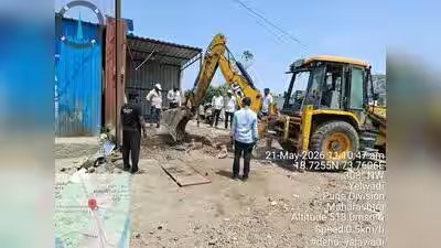
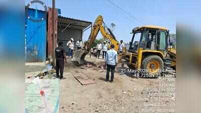
Pune: The Pune Metropolitan Region Development Authority (PMRDA) plans to develop a GIS-based mobile application to identify and track encroachments on roads, public spaces and plots reserved for civic amenities.The app is still at the planning stage, with no final approval or implementation timeline announced.Since Jan 2026, the authority has removed 919 unauthorised constructions and 153 illegal hoardings. It also plans to set up a dedicated anti-encroachment squad equipped with modern machinery and adequate manpower to prevent fresh violations, PMRDA officials said.A PMRDA official said ‘Survey Mobile App’ would allow field officials to collect geo-tagged photographs, GPS coordinates, property details and inspection reports directly from sites. “Integrated with a GIS-based system, it will help officials compare actual construction with approved building plans and identify structures built without permission, additional floors and deviations from sanctioned plans,” the official added.The system could also use satellite and drone images captured at different intervals to detect unauthorised construction and compare building footprints with approved plans. Officials would also be able to check whether buildings are being used for purposes other than those permitted.“The application is expected to help identify encroachments on govt land, development-plan reserved plots, roads and restricted areas. Field officials will be able to record the nature and location of an encroachment, upload photographs and track subsequent notices, inspections and action taken,” an official said.The proposed squad will focus on protecting reserved plots and roads and taking action against illegal structures across PMRDA’s jurisdiction.Fire safety violations to be trackedThe application is also expected to cover building permissions and fire safety. During inspections, officials would be able to record the availability and condition of fire hydrants, pumps, water storage tanks, fire alarms, smoke detectors, sprinklers, emergency exits, refuge areas and evacuation routes.Deficiencies can be geo-tagged, photographed and classified, while the system could track rectification deadlines, follow-up inspections and compliance status.A separate module is proposed to monitor compliance at large construction projects, townships and industrial and commercial developments. It will track conditions related to environmental clearances, tree plantation, green spaces, stormwater drainage, sewage treatment plants, rainwater harvesting and fire NOCs.Digital inventory of govt landThe application is also proposed to help PMRDA manage its land and property records. Each plot could be assigned a unique property identification number, with details of its area, village, taluka, survey number, ownership, possession status and land records. This would help maintain an inventory of govt land, acquired properties, reserved plots and leased premises.PMRDA also plans to integrate measurements from CORS-enabled GNSS rovers with GIS records to verify plot boundaries and maintain digital land maps.Paid parking planned in MoshiSeparately, PMRDA plans to introduce authorised paid parking in Sectors 11 and 12 of Moshi to regulate parking and curb unauthorised use of spaces.