









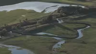
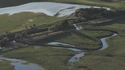
A major river restoration project in Northumberland has brought the River Breamish closer to its natural form by recovering a stretch of channel lost through centuries of agricultural changes. At Harehope Estate, south of Wooler, conservation teams used historic maps and modern mapping technology to identify the river’s original route and reconstruct its winding channels. The completed work is already benefiting wildlife, with salmon and sea trout moving through the restored waterways towards their upstream spawning grounds, according to the UK government.
How did centuries-old maps help restore a lost mile of river in England
The River Breamish was historically straightened to make more land available for agriculture. Over time, these changes altered its natural course and separated the river from its floodplain, the surrounding land that can hold water when river levels rise. An estimated mile of river channel was lost, contributing to declining freshwater species, reduced biodiversity and a greater risk of flooding downstream.According to the Environment Agency and Natural England in their government announcement, published on 20 November 2025, the restoration team examined ancient maps dating from the 1600s held in the archives at Alnwick Castle. These historical records provided evidence of the original floodplains and helped researchers understand how the river once moved across the landscape.The team combined this historical information with modern Light Detection and Ranging, or LiDAR, technology. This method uses laser measurements to create detailed three-dimensional models of the ground. By bringing together the old maps and terrain modelling, the project partners were able to trace the river’s original meanders and plan its return to a more natural course.
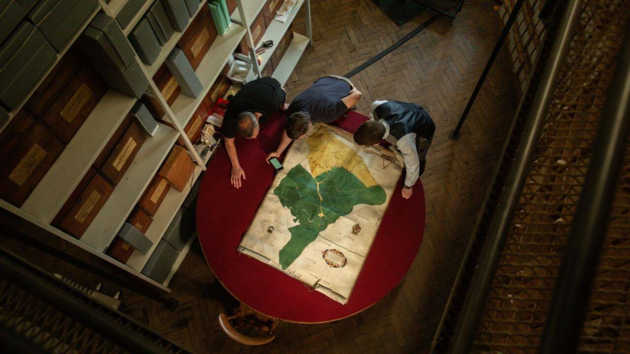
The team used ancient maps from the Alnwick Castle archives to trace the river’s original channel. Image Credit: Tommy Wilkinson/UK Government
The restoration reconnects the river with its floodplain
The project involved more than simply digging a new channel. Restoration teams excavated and diverted water into historic channels, installed silt traps and created shallow ponds and wetlands. They also opened sections of embankments and constructed woody dams designed to direct water towards the newly restored routes.These measures allow the river to spread into surrounding areas rather than remain confined to a straight, heavily managed channel. The aim is to restore natural processes and give the waterway room to change as conditions shift.The government announcement explains that the river will develop its own final form over time. Following recent rainfall, water had already spilled onto the floodplains, creating wetland areas. This early development shows how the restored landscape is beginning to respond to the river’s natural movements.
Why are salmon and sea trout using the new channels
The return of fish is one of the clearest early signs that the work is improving conditions for wildlife. The Environment Agency and Natural England report that salmon and sea trout have already been moving freely through the reconstructed channels as they travel towards upstream spawning grounds.The restoration is also creating new habitats for other species. Herons, kingfishers and damselflies have been observed using areas around the new river channel, while vegetation is beginning to establish itself along the restored sections.Water crowfoot, a plant associated with the ecological importance of the area, has also been sighted in the newly winding stretch of river. Its presence is significant because the plant has contributed to the River Till catchment’s protected status.The wider catchment is recognised for its conservation value and includes habitats supporting otters, Atlantic salmon and all three native species of lamprey. It has designations as both a Site of Special Scientific Interest and a Special Area of Conservation. Improving the River Breamish therefore supports a landscape that is already important for protected wildlife.
Natural river processes can reduce flood pressure downstream
The restoration is intended to benefit people as well as wildlife. When a river is held within a straight, restricted channel, water can move quickly through the landscape. Giving it more room to spread across its floodplain allows some of that water to be stored naturally, slowing its movement and easing pressure downstream.In the government announcement, Jim Heslop, Environment Programme Manager for the Environment Agency in the North East, explains that reconnecting the river with its floodplain can create wetland habitats, improve water quality and reduce downstream floodwater pressures.The project is also expected to strengthen the landscape’s ability to cope with climate change. Wetlands and a river that can adjust naturally to changing water levels provide a more flexible environment than one constrained by extensive embankments and continued management.
Partnership working has made the project possible
The restoration forms part of the River Till Restoration Strategy and was delivered through the LIFE WADER nature-recovery project. The work brought together the Environment Agency, Tweed Forum, Natural England and the local landowner, Harehope Estate.Co-operation with the landowner was essential because restoring the river required changes to how the surrounding land was managed. The Countryside Stewardship scheme has supported the management of the floodplain and nearby areas, recognising the long-term adjustments needed for natural river processes and wetland habitats to develop.The government report describes LIFE WADER as a five-year nature-recovery project worth £5.8 million, co-funded by the European Union and due to finish in December 2026. Led by Natural England, the wider initiative aims to improve the ecological condition of more than 49,000 hectares of river, coastal and marine habitat, alongside water quality improvements across the River Tweed catchment and Northumberland Coast.Philip Kearney, Project Manager at Tweed Forum, highlights the importance of cooperation between conservation specialists and landowners in creating space for the river to evolve. The project has also encouraged other landowners in the area to explore restoration opportunities on their own land.Although the construction work is complete, the river’s recovery will continue. Project partners plan to monitor water quality, fish populations and the development of wetland habitats. The findings are expected to help inform similar restoration efforts elsewhere in the UK.