








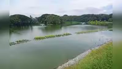
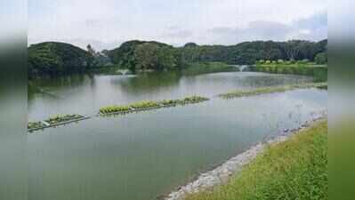
Bengaluru: Greater Bengaluru Authority’s (GBA) proposed plan to build new roads and widen existing ones has raised concerns, with maps released by the five city corporations showing proposed road alignments through or along lakes, forest land, defence properties and public sector undertaking (PSU) campuses.GBA has invited suggestions and objections from residents on the proposed road network. Objections must be submitted to the chief town planner by Dec 12.The provisionally approved maps, available on GBA website, show proposed roads along defence establishments, PSU campuses and Lalbagh Botanical Garden. One proposal involves a 15-metre-wide road connecting Lalbagh’s West Gate to Siddapura Gate, running along Lalbagh lake and cutting across the garden.Several other lakes could also be affected by the proposed alignments. These include Doddabommasandra, Doddabidarakallu, Herohalli, Singapura, Horamavu, Chelekere, Nallurahalli, Pattandur Agrahara, Sadaramangala, Varthur Amanikere, Mylasandra and Begur lakes, where roads have been proposed through or along the waterbodies.Roads have also been proposed through Sunkadakatte district forest in west Bengaluru and Kadugodi plantation near ITPL. The proposed network includes roads through HMT quarters, Central Power Research Institute (CPRI) campus, Veterinary College in Hebbal, BEL factory and NGEF premises near Benniganahalli.Several defence properties also feature in the proposed alignments. These include Air Force Station Jalahalli West, Military Dairy Farm in Hebbal and BSF campus in Yelahanka. A 45-metre-wide road has been proposed through multiple defence establishments to connect to Outer Ring Road at Goraguntepalya towards BEL Circle.President of Federation of Bengaluru Lakes V Ramprasad said the city’s waterbodies were already facing pressure from infrastructure projects, including sewage treatment plants and underground drains within lake premises. The proposed road network, he alleged, could take away 20-30% of lake land. He felt boundaries identified by Koliwada, Lakshman Rao and AT Ramaswamy committees should be treated as the basis for planning.Ramprasad also questioned the rationale behind the proposed road alignments. “The drawings seem to have been made by a failed class 10 student, without any logic, reasoning or analysis. Roads that are supposed to provide connectivity are ending dead. Lakes are being abused and irreversible ecological damage is being caused,” he said.A trustee of a lake group said stakeholders are concerned about the plan being drawn up without prior consultation. “Why is it that we are just being asked to submit objections instead of involving impacted stakeholders in planning the proposal?” he questioned.